Thursday, July 8, 1999 (8:30 a.m.)
Day at Sea: 24
Actual Position (From GPS unit on board escort boat).
Navigator's Estimate (from Bruce Blankenfeld, Navigator, and Pi'ikea Miller, Apprentice Navigator on "Hokule'a."):
July 7, Sunset: 9 degrees S, 113 miles west of the Marquesas
July 8, Sunrise: 9 degrees 56 minues S, 90 miles west of Marquesas
The navigators continue to search for the Marquesas. Yesterday afternoon they headed south to look for the islands; by sunset, they were heading S by E against the easterly trades, believing now that the islands lie to the east.This morning they tacked back toward the NE and will continue on this tack until sunset.
Eiao, the northernmost of the Marquesas Islands lies 190 miles to the east and tacking back to it against the easterly trades will take at least 4 days.
Are the navigators "off course"? At this point in the voyage, there is no intended course. The intended course line was the line the navigators sailed from Hawai'i down to the vicinity of the Marquesas and they held that course as long as they thought it was necessary. Now the navigators are carrying out a search strategy to find the islands. This involves tacking back and forth at the latitude of the islands--either to the east or to the west.
The art of wayfinding is not a science; it doesn't lead a vessel directly to a destination. It involves constant orientation and re-orientation (which is why the navigator gets very little sleep), based on estimates of speed and distance traveled and clues in the natural environment. Because navigators without instruments cannot pin-point a destination, they sail into the vicinity of their destination and if they don't find it where they think it is, they employ a search strategy to find it.
On July 5, based on their estimated distance traveled and readings of latitude stars, the navigators believed that the islands were to the SW and starting searching in that direction. Now they have determined that the islands were not in that direction (no sighting of land clues), so they have reversed the direction of the search.
The Marquesas islands are harder to find than both Tahiti or Hawai'i. They are a smaller target than the usual destination for voyages to the south--Tahiti, which is part of a 400-mile wide screen of islands made up of the Tahiti and Tuamotu Archipelagos; by contrast the Marquesas are 130 miles wide East to West and 160 miles wide North to South. In contrast to Hawai'i with Mauna Kea and Mauna Loa, both of which are over 13,500 feet high and can be seen from over 100 miles away on a clear day, the highest mountains in the Marquesas are about 4000 feet high (Ua Pou, Nukuhiva, Hiva Oa). The canoe must pass within 65 miles in daylight to see the mountain tops. Piles of clouds that form on mountaintops are clues to landfall.
But the navigators are mainly looking for two kinds of terns--the manu-o-Ku or white tern, and the Noio or brown tern to aid them in their search for islands. These land-based sea birds fly out to fish at sunrise and fly back to their home island at sunset. The manu-o-Ku ranges about 120 miles from its home island; the Noio about 30-40 miles. The direction the birds are flying from in the morning and the direction the birds are flying to in the evening indicate the direction of their home island.
Weather on July 8: Winds are from La Malanai (E by S) at 15-20 knots; seas 8 -10 feet, with the dominant swell from the ESE; smaller easterly swell.
Strategy: The navigators are in the final phase of their voyage--tacking between about 9 and 10 degrees S while looking for land-based seabirds and islands. Yesterday they began searching to the east.
Latitude: Kochab.
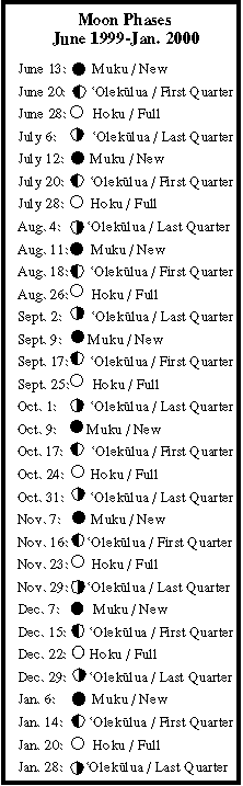
Stars. Moon: Kaloakukahi (the 24th moon phase) rising after midnight.
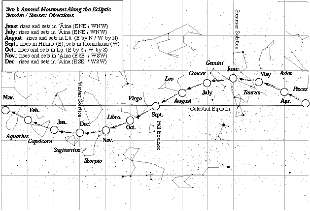
Daytime navigation: Sun: sunrise and sunset (ENE/WNW); 'Kaloakukahi (the 24th moon phase) setting after noon.
Sea Life: Sightings of boobie birds, which inhabit the Marquesas, but which can stay at sea without returning to land for days.