Monday, July 5, 1999 (8:30 a.m.)
Day at Sea: 21
Actual Position (From GPS unit on board escort boat).
July 04, Sunset (17:24): 04 degrees 56.80 minutes S; 140 degrees 32.62 minutes W
July 05 Sunrise (5:35): 05 degrees 20.49 minutes S; 140 degrees 50.33 minutes W
Navigator's Estimate (from Bruce Blankenfeld, Navigator, and Pi'ikea Miller, Apprentice Navigator on "Hokule'a."):
July 04, Sunset: 06 degrees 26 minutes S; 61 miles E of the reference line
July 05, Sunrise: 07 degrees 48 minutes S; 40 miles E rof the eference line
The crew of Hokule'a are heading Na Leo Kona (SSW) looking for islands and birds today, doing 6-7 knots in 15 knots of easterly wind. The weather is clear and sunny, with cumulus clouds. The seas are 4-8 feet and whitecapped, with swells coming from the E and ESE. Last evening, the swells became very steep, and the canoe began rocking and rolling. The navigators speculated that they were passing over a shallow spot in the ocean.
The navigators readjusted their latitude estimate last night after a good sighting of Kochab and Pherkad crossing the meridian. Latitude, determined by dead reckoning of distance traveled and the altitude of stars crossing the meridian due north and south, is difficult to measure precisely without instruments. The altitude of the stars are measured by the navigator's outstretched hand calibrated to distances in the sky. The higher the latitude star is from the horizion, the less accurate the estimate of its altitude and therefore, latitude.
The sail to the Marquesas has been awesome! With its new sails, Hokule'a is more than capable of making the 900 miles of easting needed to reach its destination. The navigators have traveled their intended course the whole way. The last step now is the find the islands.
Strategy: Estimating the canoe is about72 miles north of Nukuhiva, the navigators plan to looks for land-based seabirds heading back to the islands today at sunset.
Latitude: The navigators used Pherkad and Kochab in the Little Dipper for latitude estimates last night. Alrai in Cepheus was too low in the clouds and could not be seen in the early morning before sunrise.
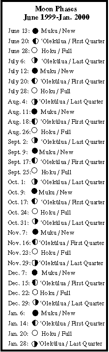
Nighttime navigation: Clear night full of celestial bodies; Stars: Hikianalia (Spica) setting; the navigator's triangle (Keoe/Vega, Humu/Altair, Pira'etea/Deneb) rising in the early evening; Planets: Hokuloa (Venus) and Hoku'ula (Mars) setting; and Ikaika (Jupiter) and Makulu (Saturn) rising after midnight. Moon: 'Olekukahi (the 21th moon phase) rising at 11:20 pm.
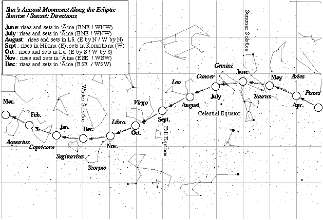
Daytime navigation: Sun: sunrise and sunset (ENE/WNW); 'Olekukahi (the 21th moon phase) setting at 11 a.m.; swells from the E and SE by E.
Fishing report: another 20 lb. aku; the crew gave some of the fish to the escort boat, since they were still eating from the 20 lb. aku they caught yesterday. They took in their fishing lines since they had enough fish to eat.
Sea Life: one manuoku (white tern), one noio (brown tern); one 15 foot whale shark