Friday, July 9, 1999 (8:30 a.m.)
Canoe Departed Hilo p.m. June 15, 1999,
As of Sunrise Today Hokule'a was at Sea: 23.5 days
Actual Position (From GPS unit on board escort boat).
July 8, Sunset: 8 degrees 33.00 minutes S, 143 degrees 24.44 minutes W
July 9, Sunrise: 7 degrees 54.73 minues S, 142 degrees 41.62 minutes W
Navigator's Estimate (from Bruce Blankenfeld, Navigator, and Pi'ikea Miller, Apprentice Navigator on "Hokule'a."):
July 8, Sunset: 9 degrees 02 minutes S, west of the Marquesas
July 9, Sunrise: 8 degrees 36 minues S, west of Marquesas
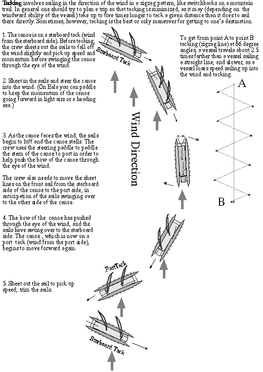
The navigators continue to tack east to look for the Marquesas. They tacked north at sunset last night, then south at sunrise this morning. Current heading was Haka Malanai (S by E)/Hema (S), at 5 knots. The Hokule'a made back about 70 miles of easting toward the Marquesas since yesterday morning.
Winds are from 'Aina Malanai (ESE) at 10-15 knots; seas are moderate with two swells running close together, 'Aina Malanai (ESE) at 6-8 ft, and La Malanai (E by S) at 3-4 feet. Tacking into wind and swells has made the canoe ride wet with seaspray over the bow, but the crew is in high spirits.
Strategy: The navigators are in the final phase of their voyage--they will stay on their port tack till sunset, then tack back north;they will read latitude stars and re-evaluate their strategy tonight.
Latitude: Kochab and Pherkad
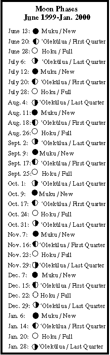
Stars. Moon: Kaloakulua (the 25th moon phase) rising after midnight.
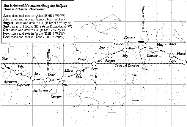
Daytime navigation: Sun: sunrise and sunset (ENE/WNW); Kaloakulua (the 25th moon phase) setting after noon. Sailing close to the wind.
Fishing report:caught a mahimahi at 6:15 p.m. last evening.
Sea Life: Boobies and Koa'e Kea (White-tailed tropic birds), which nest in the sea cliffs of the Marquesas Islands. Both birds can stay at seas for days, so the direction of their flight is not useful for finding land.